This ride starts at the Alameda Open Space parking lot and heads south through Downtown; out to Mesa Del Sol; across the river at Rio Bravo; and back north on Isleta Blvd, the Bosque Trail, and Rio Grande Blvd. Reduce the climbing and shorten the route by omitting the loop out to Mesa Del Sol. Ride planned by David Satter.
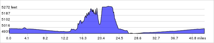
Distance: 43.6 miles, 875 ft. elevation gain.
Getting There: This ride starts at the Alameda Open Space parking lot.
Roadway: Mostly bike trails, bike lanes and 2-lane roads.
Available Downloads
MAP CUE SHEET TCX COURSE
(Turn by turn directions)
GPX TRACK
(Breadcrumb trail)
GPX ROUTE
(Cuesheet waypoints)
Route on
RideWithGPS.com