Ride down the Colorado River South of Moab.
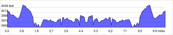
Distance: 9.5 miles, 293 ft. elevation gain.
Getting There: This short flat ride starts at the center of Moab at Center St. and US 191. Be sure to stop and see the petroglyphs along the route.
Roadway: Mostly stays on city streets and back roads.
Available Downloads
MAP CUE SHEET TCX COURSE
(Turn by turn directions)
GPX TRACK
(Breadcrumb trail)
GPX ROUTE
(Cuesheet waypoints)
Route on
RideWithGPS.com