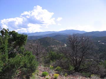
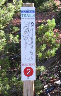
The single-track trails have a great surface but are steep and have a lot of switchbacks that have sharp turns. The system consists of a maze of trails but each intersection has a numbered marker and a map. The system does not cover a lot of territory but zig-zags around several hills and crosses the road in places. The trails are right up against private properties in several places. The trailheads have a system map posted. An intense morning ride can be put together. The below route is an 11-mile route put together by Lester Arakaki. Be courteous to the numerous hikers. Getting There: From the intersection of Bishop's Lodge Road and Artist Road, proceed up Artist (Hyde Park Road) approximately 2-1/2 miles. Turn left on Sierra del Norte. Turn right into the parking lot. |
||||||||||||||||||||||||||||||||||||||||||||||||||||||||||||||||||||||||||||||||||||||||||||||||||||||||||||||||
|
||||||||||||||||||||||||||||||||||||||||||||||||||||||||||||||||||||||||||||||||||||||||||||||||||||||||||||||||
|
Notes:
|
||||||||||||||||||||||||||||||||||||||||||||||||||||||||||||||||||||||||||||||||||||||||||||||||||||||||||||||||