This ride starts up through Tijeras Canyon, but east of the town of Tijeras, the route takes roads less traveled through east side open space and housing developments. Route planned by Lester Arakaki and Donna Chavez.
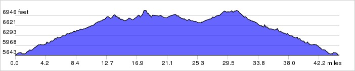
Distance: 45.0 miles, 2,780 ft. elevation gain.
Getting There: This ride begins at Smith's on Tramway, south of Central.
Roadway: Mostly 2-lane with light traffic.
Options: You can start at the Library in Tijeras and shorten the ride by 14 miles.
- See also East Mountain Whirl.
Available Downloads
MAP CUE SHEET TCX COURSE
(Turn by turn directions)
GPX TRACK
(Breadcrumb trail)
GPX ROUTE
(Cuesheet waypoints)
Route on
RideWithGPS.com